This article is obsolete. Please see New Plugin: LAStools for ArcGIS Pro
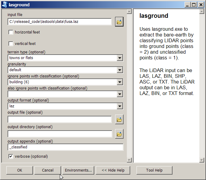
In recent days more and more users are discovering the LAStools toolbox that adds powerful LiDAR processing capabilities to ArcGIS versions 9.3, 10.0, 10.2, and 10.2 allowing you to exploit your LiDAR data in the most sophisticated manner through the familiar toolbox interface (see images at the end). ALso check out the new LAStools Production toolbox and the LAStools Pipelines models built-upon them.

However – as shown above – the most exciting thing I just learned recently myself: You can easily use the ArcGIS model builder to create entire LiDAR workflows in a very intuitive manner by combining individual LAStools from the toolbox into a pipeline of LiDAR processing tasks that can, for example, turn a set of five individual flight strips into DTM, a DSM, and a CHM at a click of a button by connecting up the individual tools with the proper parameters as outlined above. Please let me know if you have created similar model builder LiDAR workflows on your own using the ArcGIS LAStools toolbox for LiDAR processing …


Pingback: ArcGIS toolbox – rapidlasso GmbH